Estimated reading time: 14 minutes
Last updated: 24 July 2026
Table of Contents
- Why Is It Called Forbidden Drive?
- What to See and Do in Wissahickon Valley
- Getting to Wissahickon Valley
- Day Trips from Wissahickon Valley
- Planning Your Visit
- Frequently Asked Questions
Why Is It Called Forbidden Drive?
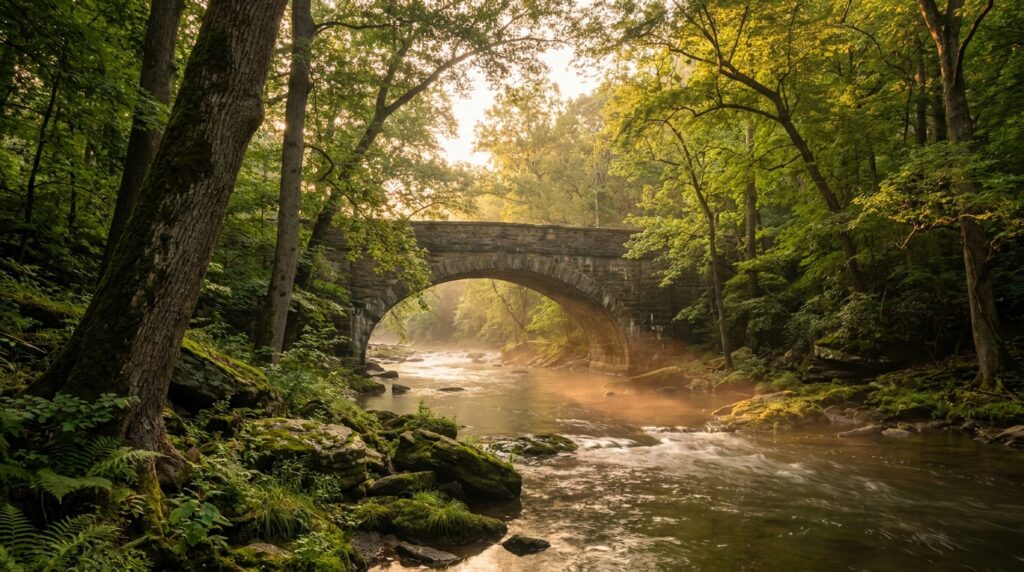
Forbidden Drive is the nickname for the car-free gravel road that runs about seven miles along Wissahickon Creek — named for the 1920s ban on automobiles. It is the centerpiece of Wissahickon Valley Park, an 1,800-acre forested gorge in northwest Philadelphia with more than 50 miles of trails, a historic covered bridge, the Devil’s Pool swimming hole, and the riverside Valley Green Inn.
What We Used to Create This
Information for this Wissahickon Valley guide came from Philadelphia Parks & Recreation records, verified visitor experiences, and local environmental sources. Facts and details reflect conditions at writing time, so confirm current hours and trail conditions with the park directly before heading out.
Want to experience Philadelphia’s forested gorge for yourself? Watch our Wissahickon Valley walking tour in 4K.
The name sounds dramatic. Forbidden Drive. No cars have rolled down this gravel path since 1920, when the city banned vehicles to protect the valley’s natural character. The seven-mile route follows Wissahickon Creek through a steep-walled gorge that drops 100 feet below street level. You’re still inside Philadelphia city limits, but the forest canopy blocks out the urban grid completely.
Wissahickon Valley Park stretches across northwest Philadelphia as part of the larger Fairmount Park system. The park draws more than 1 million visitors annually, according to Philadelphia Parks & Recreation. Most come for the trails, 57 miles of them, ranging from flat gravel paths to rocky single-track climbs. The valley’s schist rock formations and old-growth tulip poplars create terrain that feels more like the Appalachian foothills than a major East Coast city.
The Wissahickon Creek watershed has powered mills since the 1680s. Stone foundations and dam remnants still line the creek banks. The Friends of the Wissahickon maintains the trail network and runs restoration projects to stabilize eroding slopes. You’ll find hikers, trail runners, mountain bikers, and equestrians sharing the paths. Photographers show up at dawn for fog shots over the creek. Birders track warblers during spring migration.
This is not a manicured park. Expect mud after rain, rocky footing on side trails, and minimal signage once you leave Forbidden Drive. The payoff is solitude ten minutes from a subway stop.
What to See and Do in Wissahickon Valley
Wissahickon Valley offers 57 miles of hiking and biking trails including the 7-mile Forbidden Drive, plus historic Valley Green Inn, covered bridges, and over 30 historic structures dating to the 1700s.
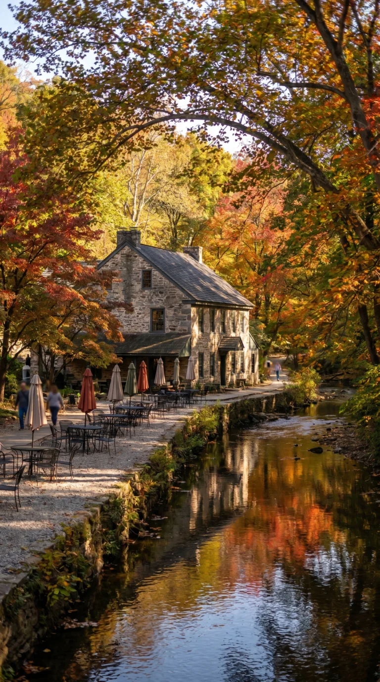
Start with Forbidden Drive. This 7-mile car-free gravel path runs along Wissahickon Creek Philadelphia with Northwestern Avenue and Bells Mill Road. Walkers, runners, cyclists, and horseback riders share the flat, wide trail. The name comes from a 1920s decision to ban automobiles from the road, preserving what had been a scenic carriage route. According to Friends of the Wissahickon, the path sees over 500,000 visitors annually.
Valley Green Inn Pennsylvania sits at the midpoint of Forbidden Drive. Built in 1850, the stone building serves lunch and dinner year-round. Outdoor tables line the creek. You can grab a sandwich and watch ducks paddle by. The inn has no parking lot, you walk or bike to get there. It’s a popular turnaround point for casual hikers.
The park contains 57 total miles of trails beyond Forbidden Drive. The Friends of the Wissahickon trail map and guide breaks them into color-coded routes. Orange Trail climbs 300 feet with the creek and the ridge in under a mile, steep switchbacks through oak forest. Yellow Trail runs 5.5 miles along the eastern ridgeline with occasional views down into the gorge. White Trail hugs the western side of the creek, crossing stone bridges and passing old mill ruins.
Seven covered bridges span the creek. Most date to the 1800s. The bridges are wooden, narrow, and still open to foot traffic. Rex Avenue Bridge and Valley Green Road Bridge are the most photographed. Stone arch bridges appear every half mile along Forbidden Drive, some built in the 1700s from local Wissahickon schist.
Historic structures dot the valley. Rittenhouse Town preserves America’s first paper mill, founded in 1690. The site includes eight buildings, six of them original. Springhouses and stone foundations from colonial mills appear along side trails. The Philadelphia Historical Commission lists over 30 structures in the park on the National Register of Historic Places.
Wildlife sightings are common. Over 200 bird species have been recorded here, including great blue herons, red-tailed hawks, and wood ducks. White-tailed deer graze at dawn and dusk. Red foxes hunt along the creek banks. Wildflowers bloom in April, trout lily, bloodroot, and Virginia bluebells carpet the forest floor.
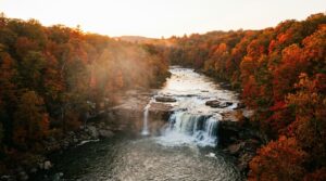
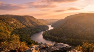
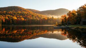
Fall foliage peaks in late October. The gorge turns orange and red. Winter hiking works if you have traction devices, ice forms on shaded sections of Forbidden Drive. Summer gets humid. Early morning is best.
Rock climbers use Devil’s Pool and several creek boulders. The pool sits below a 15-foot waterfall on Cresheim Creek, a tributary. Bouldering routes range from V0 to V4. The rock is schist, slippery when wet. Locals climb here year-round.
Photography spots include any of the covered bridges at sunrise, the creek overlooks from Yellow Trail, and the forest canopy sections along White Trail. Bring a wide-angle lens for the bridges and a telephoto for wildlife. Visit the Valley Green Inn official website for current hours before planning a meal stop.
Getting to Wissahickon Valley
Wissahickon Valley Park has 8 major access points with parking along Northwestern Avenue, Forbidden Drive, and Lincoln Drive, plus SEPTA bus routes 27 and L connect to trailheads from Center City Philadelphia.
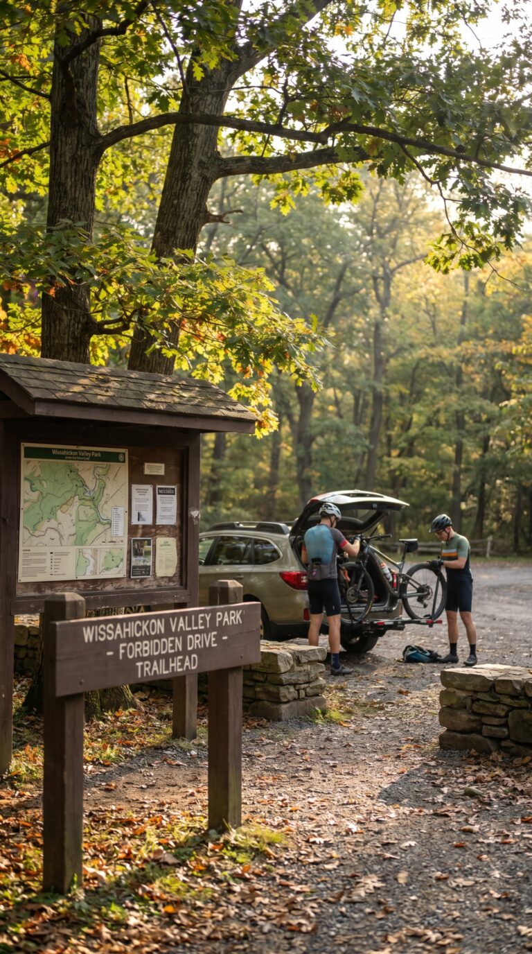
The park sits in northwest Philadelphia, a 15-minute drive from Center City. You’ll find the main access points scattered along three roads that border the valley. Valley Green Road offers the most popular entry, with a parking lot near the historic inn. Forbidden Drive has pull-off parking along its gravel length. Northwestern Avenue provides northern access, while Lincoln Drive serves the eastern side.
Parking is free at all locations. Spaces vanish by 10 AM on Saturdays and Sundays. Weekdays give you better odds. The Valley Green lot holds about 40 cars. Overflow parking exists along side streets in Chestnut Hill and Roxborough neighborhoods, but check posted signs, some blocks require resident permits.
Planning Tip
Public transit works if you skip the car. SEPTA official route map and schedules show bus 27 running with Center City and Chestnut Hill, stopping at Germantown Avenue near the Valley Green entrance. The L bus connects Germantown to the park’s northern sections. Both routes run every 20-30 minutes during the day. A one-way fare costs $2.50.
Cyclists use the protected bike lanes on Spruce Street to reach the park from downtown. The ride takes 45 minutes. Once you hit Forbidden Drive, bikes share the path with hikers and joggers. Bike racks sit at Valley Green Inn and the Rex Avenue entrance.
Gates open at dawn, close at dusk. No overnight access. First-timers should start at Valley Green Inn, it’s centrally located, has bathrooms, and sells snacks. Grab a trail map from the information board there. The Friends of the Wissahickon parking and access information page shows all 8 entry points with GPS coordinates.
Day Trips from Wissahickon Valley
From Wissahickon Valley’s Philadelphia base, visitors can reach 15 major Pennsylvania destinations within 90 minutes including Gettysburg battlefields, Hershey’s chocolate attractions, and Pocono Mountains outdoor recreation.
Philadelphia sits at Pennsylvania’s geographic center. That position opens up the entire state for day trips. You can hit Revolutionary War sites in 30 minutes or wilderness areas in under three hours.
Start close. Valley Forge National Historical Park runs 30 minutes northwest via I-76. George Washington’s Continental Army camped here during the brutal winter of 1777, 78. The park spans 3,500 acres with reconstructed log cabins, Washington’s headquarters, and 26 miles of trails. Entry costs nothing. Plan two hours minimum. The Valley Forge National Historical Park visitor center opens daily at 9 AM.
Push farther west to Gettysburg. Two hours on US-30 puts you at the Civil War’s turning point. The battlefield covers 6,000 acres. You can drive the auto tour route in 90 minutes or book a licensed guide for $75 per car. The Gettysburg National Military Park museum charges $15 for adults. The town itself runs heavy on ghost tours and overpriced buffets. Skip those. Spend your time walking Cemetery Ridge or Little Round Top instead.
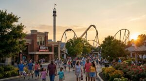
Hershey sits two hours northwest. Hersheypark admission runs $89.95 in summer 2026. The chocolate factory tour costs $19.95 per person. Kids lose their minds here. Adults mostly endure it. Budget a full day if you commit to the park. The town smells like chocolate near the factory. That part’s free.
Head northeast for mountains. The Pocono Mountains region sprawls across four counties about two hours from Philadelphia. Delaware Water Gap marks the southern edge where the Delaware River cuts through Kittatinny Ridge. The gap drops 1,200 feet in elevation. You can kayak, tube, or just pull over at overlooks along I-80. No entrance fee for the national recreation area.
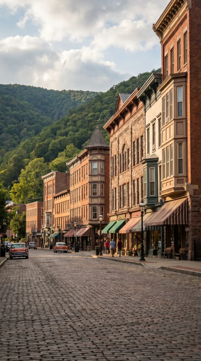
Jim Thorpe wedges into a narrow valley two hours north. The town kept its Victorian architecture intact. Mauch Chunk Street runs one-way through the historic district. Park at the municipal lot for $2 per hour. Lehigh Gorge State Park starts at the north edge of town. You can rent bikes at Pocono Biking for $45 per day and ride the 26-mile rail trail to White Haven. The town also runs whitewater rafting trips from April through October. Expect to pay $55 per person for a half-day trip.
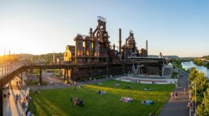
Bethlehem takes 90 minutes via I-476 North. The Moravian settlement dates to 1741. The historic district preserves 18th-century stone buildings along Main Street. SteelStacks arts campus occupies the old Bethlehem Steel plant site. Five blast furnaces still stand. The campus hosts concerts and festivals year-round. Admission to the grounds costs nothing.
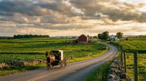
Lancaster County spreads out 90 minutes west. Route 340 cuts through Amish farmland. You’ll see horse-drawn buggies, roadside produce stands, and hand-painted signs advertising quilts. Bird-in-Hand and Intercourse get tourist-heavy. Push deeper into the countryside instead. The Visit Pennsylvania official tourism website lists farm tours and markets by county.
Reading sits 90 minutes northwest. The VF Outlet Village claims 60 stores. York runs two hours west with a restored downtown and Central Market operating since 1888. Harrisburg, the state capital, takes two hours via I-76. The capitol building offers free tours weekdays at 11 AM and 1 PM.
For serious outdoor trips, Ohiopyle State Park sits four hours west. Youghiogheny River runs Class III and IV rapids. Outfitters charge $45 to $65 per person depending on water levels. The park also contains Cucumber Falls and 79 miles of hiking trails.
Pittsburgh requires five hours each way. Not realistic for a day trip unless you leave at 5 AM. Same goes for Allegheny National Forest in the northwest corner (five hours) and Erie on Lake Erie (six hours). Save those for weekends.
Combine nearby destinations for efficiency. Valley Forge pairs with King of Prussia Mall (same exit off I-76). Bethlehem works with Jim Thorpe if you take Route 248 between them. Lancaster County and York sit 45 minutes apart via Route 30.
Planning Your Visit
Visit Wissahickon Valley during spring (April-May) for wildflowers or fall (October-November) for foliage; bring water, snacks, sturdy shoes, and download offline trail maps as cell service is limited.
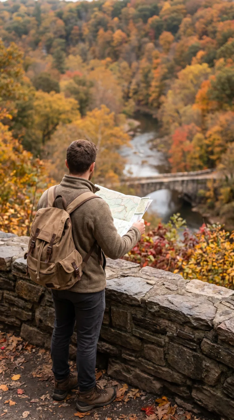
Spring hits peak beauty from April through May. Wildflowers carpet the forest floor. Temperatures hover in the 60s. Fall delivers the real show, October and November turn the gorge into a riot of reds and golds. According to Friends of the Wissahickon, these two seasons draw the highest visitor numbers for good reason.
Summer offers full canopy shade. The creek stays cool. Winter clears the trails. Snow dusts the rocks occasionally. You’ll have the place mostly to yourself.
Pack sturdy hiking shoes. The trails get rocky. Mud appears after rain. Bring water, lots of it. Snacks too. Valley Green Inn is the only real food stop, and it’s not always open. Layer your clothing. The gorge runs cooler than the city above. Rain gear matters. Insect repellent saves you in summer.
Download the Friends of the Wissahickon trail app download page before you arrive. Cell service dies in the gorge. The app works offline. You’ll need it.
Stay on marked trails. Yield to horses. Keep dogs leashed. Pack out your trash. Restrooms exist at Valley Green Inn and select parking areas, plan accordingly. Some trails climb steep. They require moderate fitness. Rocks get slippery after rain.
The park charges no entrance fees. It’s free.
Frequently Asked Questions
How long is the Wissahickon Trail?
The car-free Forbidden Drive runs about seven miles along Wissahickon Creek, and the wider park network has more than 50 miles of trails for hiking, running, and biking. You can do a short stroll from Valley Green or link trails into a longer half-day loop.
Are there bears in Wissahickon Valley Park?
Black bear sightings are very rare in Wissahickon Valley Park, which sits within Philadelphia. The wildlife you are far more likely to see includes white-tailed deer, foxes, herons, and plenty of birds. Standard urban-park caution is enough; there is no resident bear population.
Can you swim in Wissahickon Creek?
No. Swimming and wading in Wissahickon Creek, including the popular Devil’s Pool, are prohibited for safety and to protect the ecosystem, and the rules are enforced. The water can be polluted after rain and the rocks are dangerous, so enjoy the spot for the scenery only.
How do you get to Wissahickon Valley Park?
The park sits in northwest Philadelphia with several entrances. The most popular is Valley Green Inn off Wissahickon Avenue; other access points include Northwestern Avenue at the north end and Lincoln Drive. Street parking and SEPTA regional rail (Wissahickon and nearby stations) both work.
What is the best time to visit Wissahickon Valley Park?
The park is lovely year-round. Spring and fall are best for mild weather and, in October, brilliant foliage along the gorge. Summer offers shady, cool trails under the canopy, and winter is quiet and peaceful. Early mornings on weekends mean the calmest trails and easiest parking.