This guide contains affiliate links. As an Amazon Associate we earn from qualifying purchases — at no extra cost to you.
Estimated reading time: 14 minutes
Last updated: 22 July 2026
What Is Ohiopyle State Park Known For?
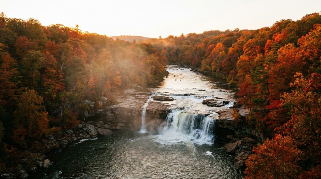
Ohiopyle State Park is best known for whitewater rafting on the Youghiogheny River, one of the East’s busiest whitewater runs with more than 200,000 paddlers a year. It is also famous for its waterfalls — 30-foot Cucumber Falls and Ohiopyle Falls — plus 79+ miles of hiking trails, a scenic stretch of the Great Allegheny Passage bike trail, and Frank Lloyd Wright’s Fallingwater just minutes away.
Want to experience Ohiopyle’s waterfalls and rapids for yourself? Watch our full Pennsylvania adventure in 4K Ultra HD.
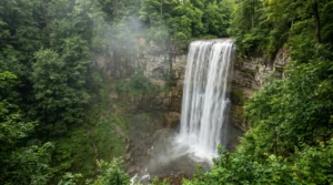
Cucumber Falls drops 30 feet over a sandstone ledge. Photographers line up on the wooden viewing platform every weekend. The waterfall sits just off the main park road, making it one of Pennsylvania’s most accessible natural attractions. Ohiopyle State Park sprawls across 20,500 acres of protected wilderness in the Laurel Highlands, according to Pennsylvania DCNR. The Youghiogheny River carved this gorge over thousands of years, creating a landscape that draws kayakers, hikers, and cyclists from across the mid-Atlantic.
The town of Ohiopyle has fewer than 40 permanent residents. Main Street runs two blocks. You can walk the entire downtown in five minutes. But this tiny borough serves as the gateway to Pennsylvania’s white water rafting capital. The Lower Yough section pulls in over 200,000 paddlers each season, per Pennsylvania State Parks official visitor data.
The park contains 79 miles of trails, ranging from flat rail-trail sections to steep gorge climbs — waterproof hiking boots make the slippery descents far safer. The Great Allegheny Passage cuts through town, connecting Pittsburgh to Cumberland, Maryland, along a former railroad grade. Ohiopyle Falls thunders through the center of town, creating Class V+ rapids that no commercial outfitter will touch. You’ll find gentler water upstream and downstream.
How We Verified This Guide
We sourced this guide from Pennsylvania state park records, rafting outfitter data, and firsthand traveler reviews to confirm details about trails, rapids, and facilities. Information was accurate when written, but we recommend contacting Ohiopyle State Park directly for current conditions and seasonal updates.
Top Attractions and Things to Do in Ohiopyle
Ohiopyle State Park offers Cucumber Falls and Ohiopyle Falls as signature waterfalls, plus class II-IV white water rafting on the Youghiogheny River and 79 miles of hiking trails including the Great Allegheny Passage.
Planning Tip
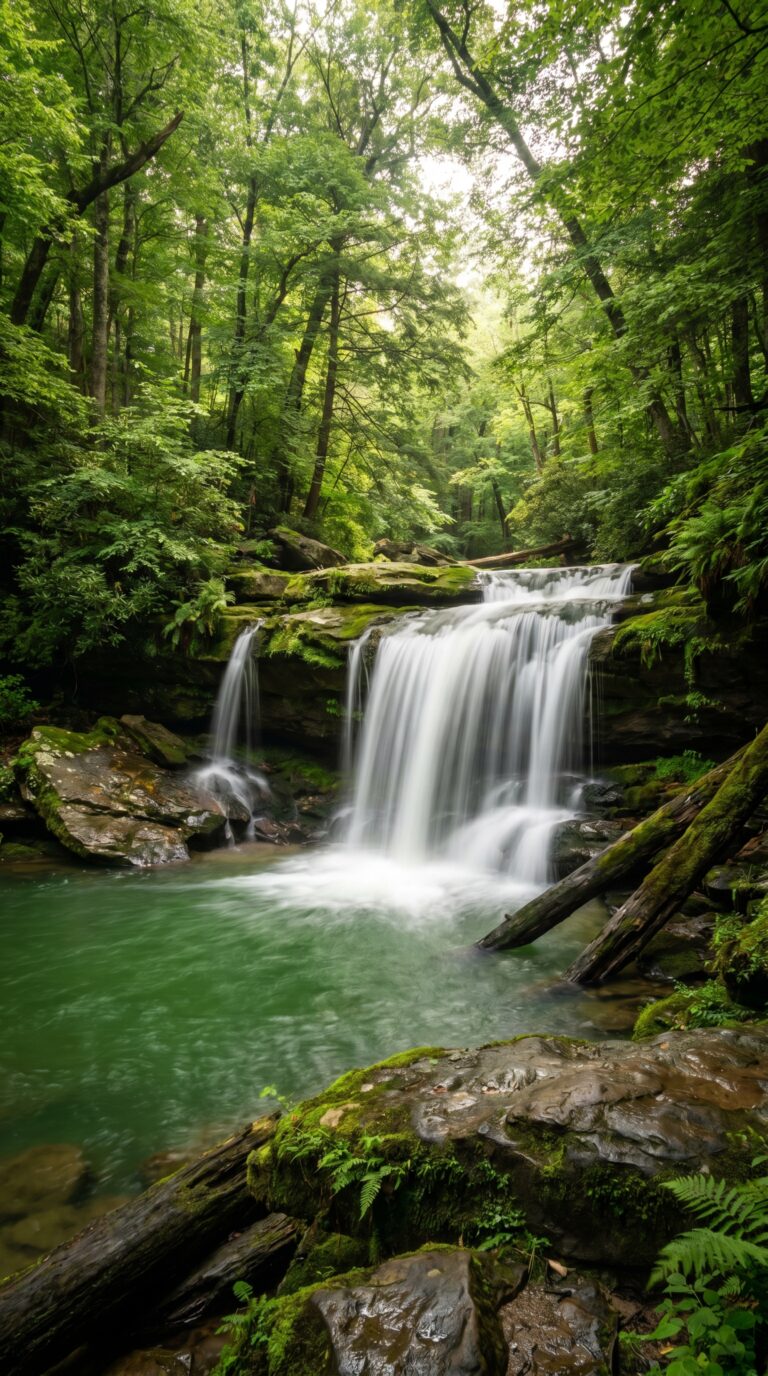
Cucumber Falls drops 30 feet over moss-covered sandstone into an emerald pool. This is the park’s most photographed waterfall. The quarter-mile trail from the parking lot is paved and wheelchair-accessible. Best light hits the falls between 10 a.m. and 2 p.m. when sunlight filters through the canopy. The pool below stays cold year-round, around 50°F even in July. According to Pennsylvania DCNR official park literature, the falls maintain consistent flow thanks to Cucumber Run’s spring-fed source.
Ohiopyle Falls sits right in town. The Youghiogheny River drops 20 feet over a series of ledges, creating class IV rapids. Viewing platforms line both sides of the gorge. On hot days, locals use the natural waterslide on the north side, a smooth rock chute that dumps into a deep pool. Wear water shoes — the rocks are slippery. Swimming near the main falls is illegal and dangerous. The current pulls swimmers into hydraulics that trap people underwater.
White water rafting on the Youghiogheny River runs from April through October. The Lower Yough section covers 7.5 miles with class III-IV rapids. Dimple Rock, Swimmers Rapid, and Double Hydraulic are the big hits. Commercial outfitters charge roughly $60 to $110 per person depending on the day. Weekday trips cost less. The Middle Yough offers milder class II-III rapids for families. Check Youghiogheny River water level data before booking, flows below 1.5 feet make for a rocky ride.
Rafting deaths happen here. Between 2000 and 2025, eight people drowned on the Lower Yough. All were either not wearing life jackets or swimming outside designated areas. Stick with guided trips. Outfitters provide helmets, life jackets, and safety briefings. Solo paddling requires a permit and proof of experience.
The Great Allegheny Passage official trail maps show the 150-mile rail trail cutting through Ohiopyle. According to the Great Allegheny Passage Conservancy official website, the trail runs from Pittsburgh to Cumberland, Maryland. The Ohiopyle section follows the river gorge for 9 miles. Crushed limestone surface works for road bikes. Rent bikes in town for $30-$50 per day. The trail connects to the C&O Canal Towpath in Cumberland, creating a 335-mile route to Washington, D.C.
Hiking trails total 79 miles across the park. Baughman Rock Trail climbs 1.5 miles to a cliff overlook 300 feet above the river. Sugarloaf Trail loops 4.2 miles through hemlock groves and rhododendron thickets. The Laurel Highlands Trail starts just south of the park and runs 70 miles to Seward. Serious backpackers camp at shelters spaced 8-10 miles apart.
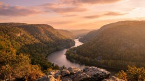
Ohiopyle Overlook sits on Route 381 north of town. Park in the small pullout. Walk 50 feet to the railing. The view spans the entire gorge and surrounding ridges. Sunrise photographers show up at 6 a.m. in October for fall color shots.
Meadow Run Natural Waterslides flow over smooth bedrock near the campground. Kids slide down the slanted rock into shallow pools. Water depth varies by season, June sees the highest flows. River beaches along Ferncliff Peninsula fill up on summer weekends. Bring your own chairs. No lifeguards on duty.
Rock climbing routes dot the sandstone cliffs near Sugarloaf and Tharp Knob. Most climbs rate 5.6 to 5.10 on the Yosemite Decimal System. Bouldering problems cluster around the railroad bridge south of town. Bring your own gear. No rental shops in the area.
What should I pack for Ohiopyle State Park?
Ohiopyle packs whitewater rafting, 79 miles of trails and natural waterslides into one gorge — so you want grip for slippery rock, dry storage for the river, and proper trail gear for the climbs. The essentials:
- Waterproof hiking boots — grip for 79 miles of trail and steep, slick gorge climbs
- Quick-dry water shoes — for the natural waterslides and slippery river rocks
- A waterproof dry bag — keeps your phone & keys dry on the river and the slides
- A daypack with hydration — carry water and layers on the longer gorge trails
- Trekking poles — steady you on the steep rail-trail-to-gorge descents
- A packable rain shell — mountain-gorge weather shifts fast
As an Amazon Associate we earn from qualifying purchases.
Where to Eat in Ohiopyle
Ohiopyle’s dining scene centers on Falls City Restaurant and Pub for American fare and Bittersweet Cafe for breakfast, with limited options requiring advance planning during peak season.
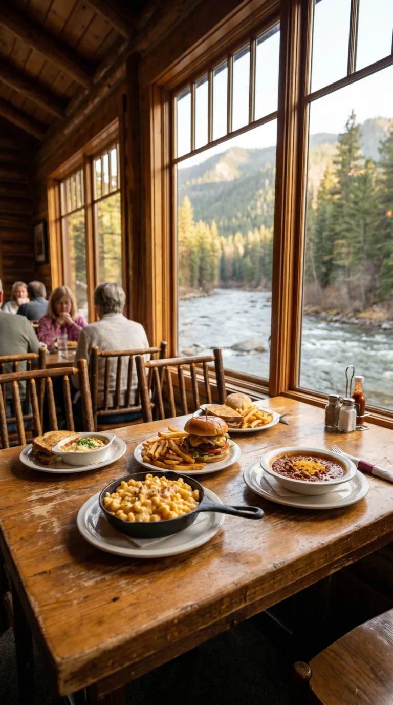
Ohiopyle has fewer than five sit-down restaurants. This is not a foodie destination. You come here to raft and hike, then eat whatever’s open.
Falls City Restaurant and Pub handles most of the town’s dining traffic. Burgers run $12 to $16. Sandwiches, wings, and salads fill out the menu. They pour local Pennsylvania craft beers on tap. The outdoor patio overlooks the river when weather cooperates. Expect a wait during summer weekends, rafting groups pack the place by 1 PM.
Bittersweet Cafe opens early for breakfast. Grab coffee, bagels, or a breakfast sandwich before hitting the trails. Hikers starting the Laurel Highlands Trail at dawn stop here first. They also serve lunch, paninis, soups, wraps. Lighter fare than Falls City.
A small craft brewery operates seasonally in town. Post-hike beers taste better when you’ve earned them on 15 miles of singletrack.
Riverside dining means picnic tables near the water, not white tablecloths. Patios close when temperatures drop below 50°F.
Bring trail snacks. Pack a cooler if you’re camping. The restaurants fill up fast on holiday weekends, and there’s no guarantee you’ll get a table without a 45-minute wait. Confluence, 10 miles south on Route 281, has a pizza shop and a diner if Ohiopyle’s options are tapped out.
Accommodation: Camping, Hotels, and Unique Stays
Ohiopyle State Park operates 207 campsites with modern facilities bookable through Pennsylvania’s state park reservation system, plus yurts and limited in-town lodging options.
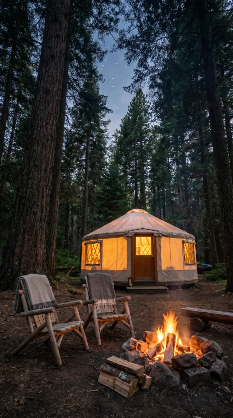
Ohiopyle camping is the default choice for most visitors. The park runs 207 tent and trailer sites spread across multiple campgrounds along the Youghiogheny River. Modern facilities include flush toilets, hot showers, and electric hookups at select sites. Riverside locations put you within walking distance of trailheads.
Book through the Pennsylvania State Parks Camping Reservations system. The advance booking window opens 11 months out, according to Pennsylvania state park reservation policy. Peak summer weekends fill fast. Walk-up sites exist but don’t count on them Memorial Day through Labor Day.
Download the Ohiopyle campground map PDF from the Ohiopyle State Park Campground Details page to scout riverside versus wooded sites before reserving. Site numbers matter here, some back up to Route 381 traffic noise.
Ohiopyle camping yurts offer a middle ground. These canvas structures sleep four, include electricity and a ceiling fan, but no plumbing. You still use the campground bathhouse. Camping cottages provide a roof and beds for groups wanting walls without hauling gear.
Ohiopyle hotels in town are scarce. A handful of small inns and B&Bs operate along Main Street, but rooms book months ahead for summer. Look to Confluence (10 miles north), Uniontown (20 miles west), or Farmington for chain hotel options. Nemacolin Woodlands Resort sits 15 miles southeast if you’re chasing luxury.
Getting to and Around Ohiopyle
Ohiopyle is located 90 minutes southeast of Pittsburgh via US-40 and PA-381, with no public transportation access requiring visitors to arrive by personal vehicle or tour shuttle.
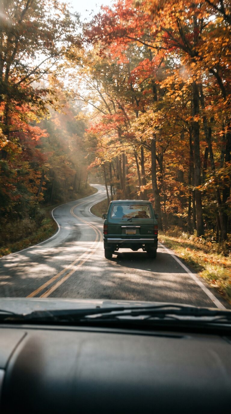
No buses run here. No trains stop nearby. You need a car.
From Pittsburgh, take US-40 east through the Laurel Highlands, then turn south on PA-381. Google Maps clocks it at 90 minutes, though weekend traffic from the city can add 20 minutes. Philadelphia sits 4 hours northeast. Washington DC is 3.5 hours south.
The park sprawls across 20,500 acres with multiple parking lots scattered along the Youghiogheny River Gorge. The main lot sits in the town center near the visitor center, this fills fast on summer weekends by 10 AM. Trailhead parking areas serve Cucumber Falls, Meadow Run, and Ferncliff Peninsula. Expect congestion Memorial Day through Labor Day.
Once parked, the town itself measures less than half a mile end to end. You can walk everywhere. Bike racks line the main street for cyclists arriving via the Great Allegheny Passage trail, which cuts directly through town.
Download the Official Ohiopyle State Park map download from PA DCNR before you arrive, cell service drops in the gorge. The map shows all trailheads, parking areas, and river access points.
Winter brings ice. PA-381 gets plowed, but secondary park roads close when snow accumulates. Check Pennsylvania Department of Transportation (PennDOT) road conditions before driving between December and March.
Day Trips from Ohiopyle
Ohiopyle sits 15 minutes from Fallingwater and 90 minutes from Pittsburgh, with Gettysburg, Lancaster County, and Jim Thorpe all within a 2-3 hour drive for extended exploration.
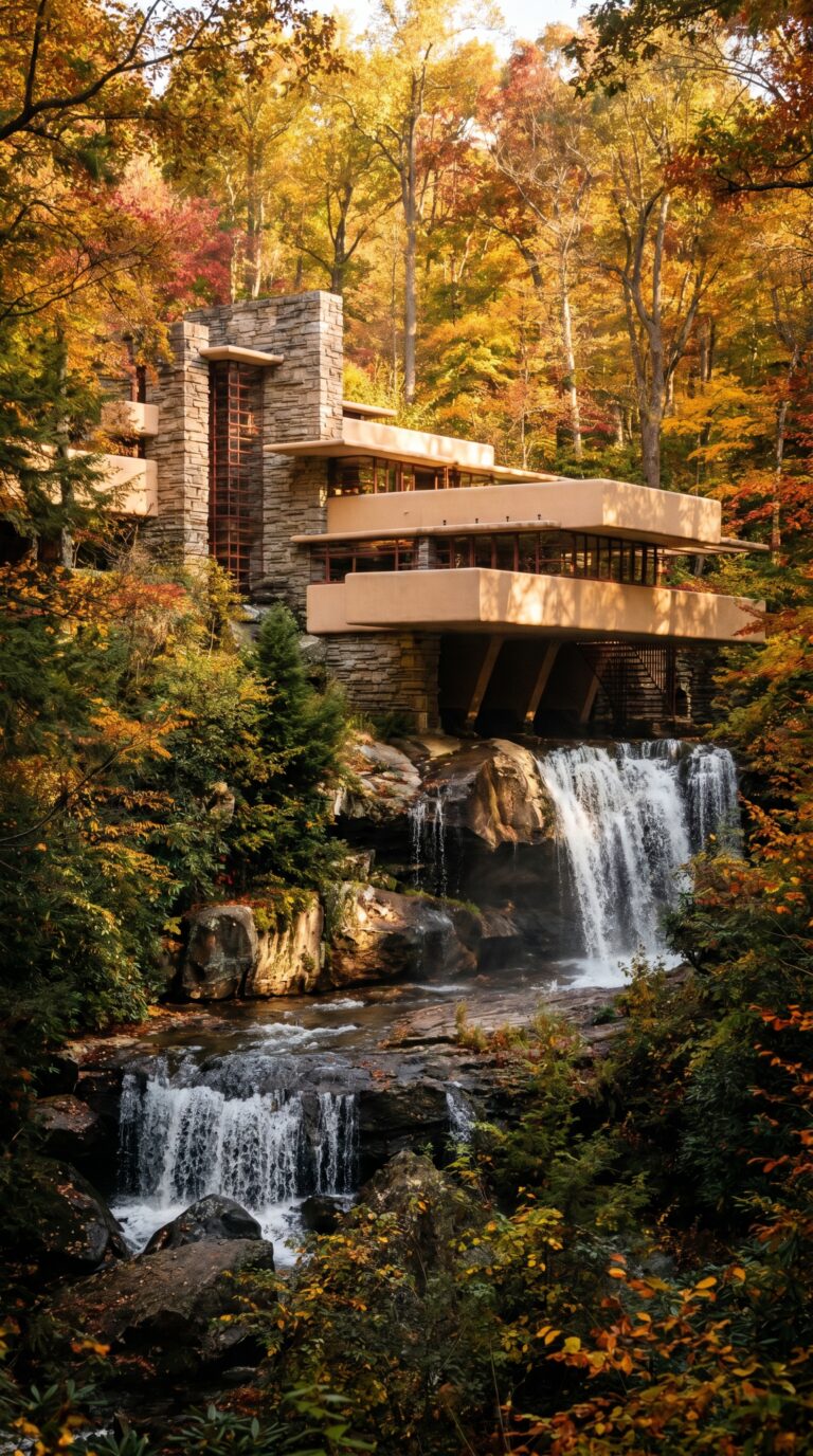
Fallingwater tops every list. Frank Lloyd Wright’s masterpiece perches 15 minutes northeast of town. The house cantilevers over a waterfall in a way that still looks impossible. Tours require advance reservations through the Official Fallingwater website. The Western Pennsylvania Conservancy reports 160,000 annual visitors. Book weeks ahead for summer weekends.
Pittsburgh sits 90 minutes northwest. The city offers museums, professional sports, and Strip District food markets. Primanti Bros. serves sandwiches with fries inside the bread. The Andy Warhol Museum holds the largest collection of his work anywhere. You can day-trip or stay overnight.
Confluence lies 10 miles south where the Casselman, Laurel Hill Creek, and Youghiogheny rivers meet. The town serves as another Great Allegheny Passage access point. Cyclists use it as a staging area for longer rail-trail rides.
Gettysburg sits 2 hours east. The battlefield sprawls across 6,000 acres. Ranger-led tours explain the three-day 1863 battle. Downtown shops sell Civil War memorabilia and antiques.
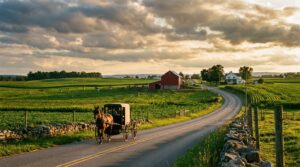
Lancaster County lies 2.5 hours east. Amish farmers sell produce at roadside stands. Shoofly pie costs $8 at local bakeries. Buggy traffic slows Route 340 to 25 mph.
Jim Thorpe requires 3 hours northeast. Victorian mansions line steep hillsides. The Lehigh Gorge offers whitewater rafting and rail-trail biking. Downtown galleries sell local art.
Hershey sits 2.5 hours northeast. Chocolate World offers free factory tours. Hersheypark runs roller coasters and water rides. The whole town smells like cocoa.
Harrisburg lies 2 hours northeast. The state capitol building offers free tours of its rotunda. City Island hosts minor league baseball games along the Susquehanna River.
Best Time to Visit and Practical Tips
Ohiopyle’s optimal visiting season runs May through October with rafting dependent on river flows, while September and October offer peak fall foliage with comfortable temperatures averaging 60-70°F.
Late spring through early fall delivers the best conditions. Trails stay accessible. Rivers run high enough for rafting. Summer temperatures hover between 75 and 85 degrees. Winter lows drop below freezing, closing some trails and shutting down water activities entirely.
The rafting season typically runs April through October. Peak flows arrive in spring after snowmelt. By late summer, water levels drop. Check the USGS real-time water data for Youghiogheny River levels before booking a trip. Outfitters cancel when flows get too low or dangerously high.
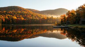
September and October bring the best hiking weather. Temperatures settle into the 60s and 70s. The forest explodes in reds and golds. Crowds thin out after Labor Day, though fall foliage weekends still pack the parking lots. Arrive before 9 AM or visit midweek.
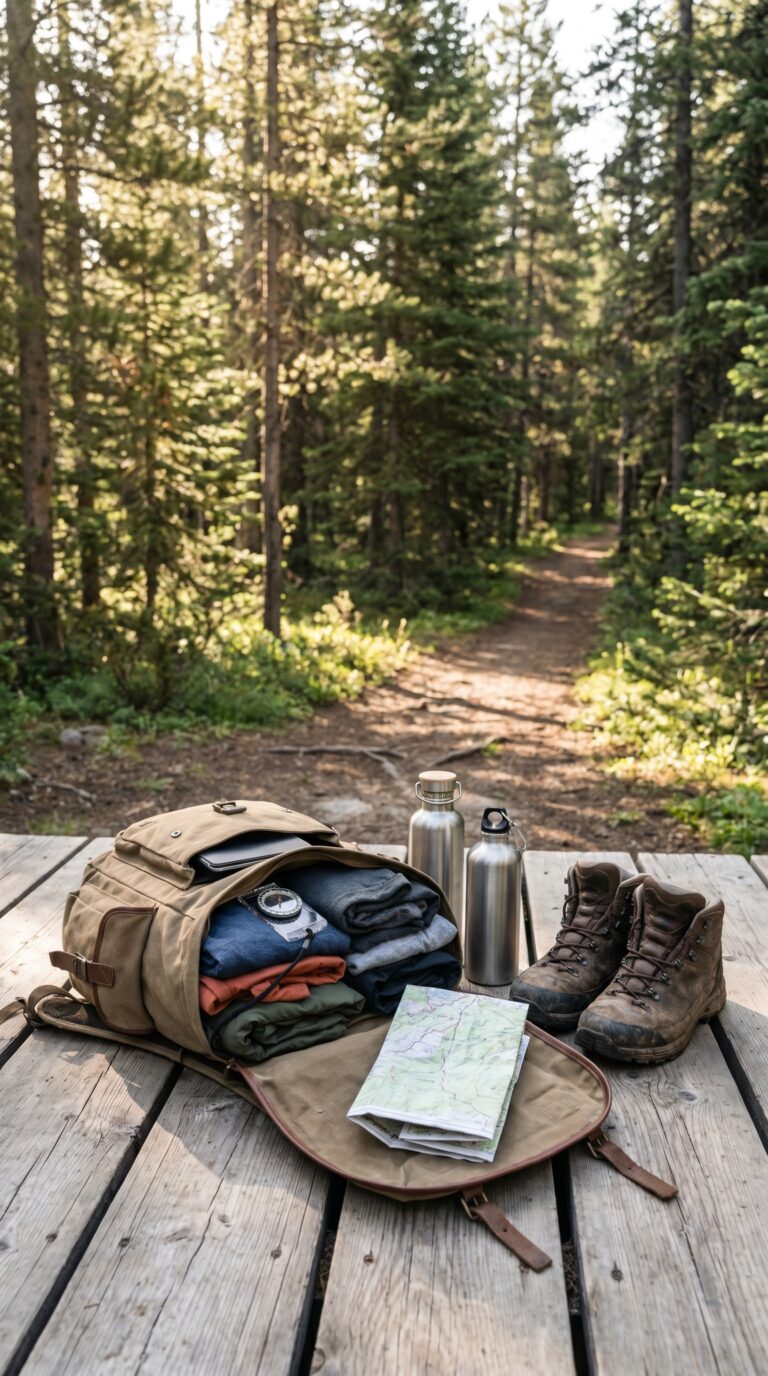
Pack sturdy hiking boots. The terrain gets rocky and muddy after rain. Bring layers, morning fog burns off by noon, but temperatures swing 20 degrees between sun and shade. Rain gear matters. Sun protection matters more. Cell phone service disappears in the gorge. Download maps offline. Tell someone your plans.
Check the National Weather Service forecast for Ohiopyle area before you leave. Trail conditions change fast. Seasonal closures happen. Water bottles run dry faster than you think.
Frequently Asked Questions
How much does whitewater rafting at Ohiopyle cost?
Guided Lower Yough rafting trips run roughly $60 to $110 per person, depending on the day and outfitter, with weekday trips the cheapest and summer weekends the priciest. Self-guided raft and ducky rentals cost less, plus a small launch permit and shuttle fee. Milder Middle Yough trips are popular with families, and most outfitters recommend booking ahead in summer.
What town is near Ohiopyle State Park?
The small borough of Ohiopyle sits right inside the park with outfitters, snack bars, and trail access. Confluence is a few miles south on the Great Allegheny Passage, and Uniontown and Farmington (near Fallingwater and Nemacolin) are the larger towns to the west.
Can you swim at Ohiopyle?
Swimming in the Youghiogheny’s rapids is dangerous and restricted, but the natural waterslides at Meadow Run are a hugely popular place to slide and splash in summer. Always follow posted signs — currents near the falls can be deadly.
Why is it called Ohiopyle?
The name Ohiopyle comes from a Lenape (Native American) phrase often translated as “white frothy water,” describing the rapids and falls of the Youghiogheny River that define the park.
What is the best time to visit Ohiopyle?
Late spring through fall is best: April to October is whitewater rafting season, summer is peak for the Meadow Run waterslides and biking, and late September to October brings spectacular fall foliage. Winter is quiet but good for frozen waterfalls and solitude.