Estimated reading time: 18 minutes
Last updated: 30 September 2026
Table of Contents
- Is São Jorge Worth Visiting?
- Best Time to Visit São Jorge
- Top Fajãs to Explore on São Jorge
- Getting to and Around São Jorge
- Day Trips from São Jorge
- Frequently Asked Questions
Is São Jorge Worth Visiting?
Yes — São Jorge is one of the Azores’ most rewarding islands to visit, especially for hikers. Its signature draw is the fajãs: more than 40 flat coastal platforms formed by ancient landslides and lava flows, wedged between 500-metre cliffs and the Atlantic. Reached only by steep trails or boat, they shelter coffee farms, natural lava pools, and tiny villages found nowhere else in the archipelago.
What We Used to Write This
This guide draws from government tourism resources, aerial footage archives, and firsthand traveler reports about São Jorge’s fajãs. All details were current as of publication, but we recommend checking local tourism websites before planning your visit, as conditions and access can change.
Want to see São Jorge’s dramatic fajãs from above? Watch our full aerial tour in 4K Ultra HD.
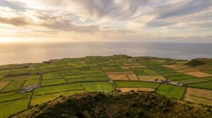
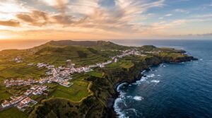
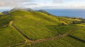
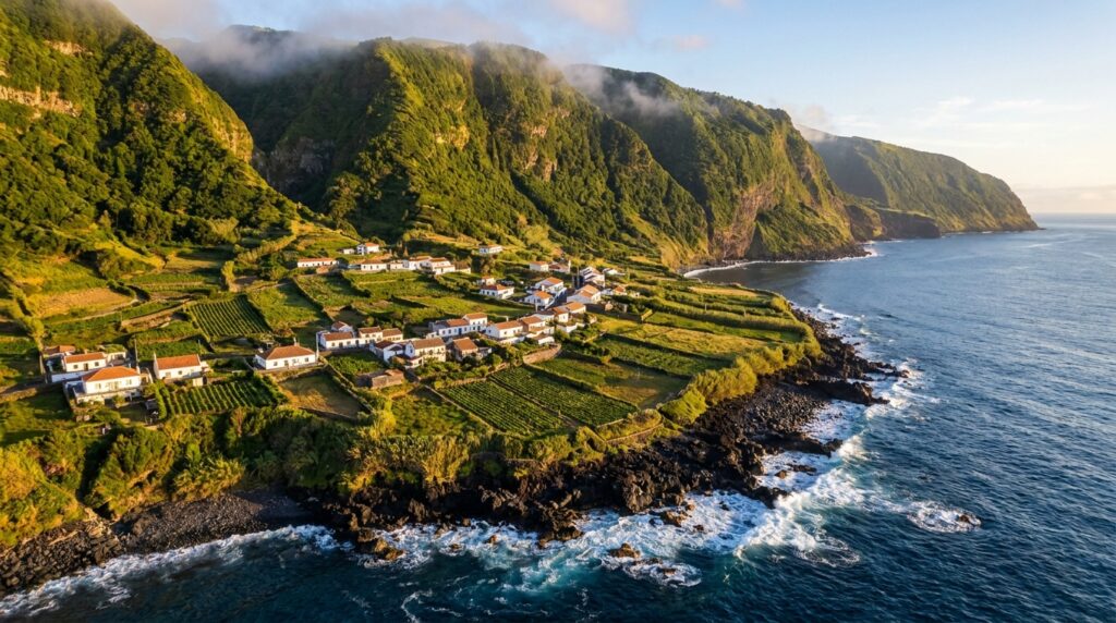
São Jorge doesn’t look like the rest of the Azores. The island stretches 56 kilometers long and barely 8 kilometers wide. Volcanic cliffs drop straight into the ocean. Then you spot them, flat green patches trapped between the rock walls and the sea.
These are the fajãs de São Jorge. Geological accidents. Ancient landslides tore chunks off the cliffs and dumped them at sea level. Lava flows from old eruptions added more flat ground. Over centuries, settlers built stone houses and planted coffee, grapes, and yams on these isolated platforms. The island has more than 40 documented fajãs. Most sit at the base of cliffs averaging 500 meters high.
You can’t drive to most of them. Steep footpaths zigzag down the cliff faces, some taking 30 minutes, others over an hour. A few fajãs have road access now. Others remain boat-only. The isolation preserved old farming traditions and created tight-knit communities that still harvest from the sea and tend terraced gardens.
Hiking down feels like descending into another era. The temperature rises as you drop. Salt air replaces the cool highland breeze. Natural pools form in the lava rock where locals swim. Stone wine cellars dot the landscape. Some fajãs have a single café. Others have nothing but ruins and crashing waves.
This guide focuses on the most accessible and rewarding fajãs on São Jorge. We cover which ones have trails you can handle, where to swim, and what makes each worth the climb down. Visit Azores lists São Jorge as one of the archipelago’s top hiking destinations specifically because of these coastal formations. Expect detailed directions, real trail conditions, and the practical details you need to plan your days on this strange, vertical island.
Activity Difficulty Guide
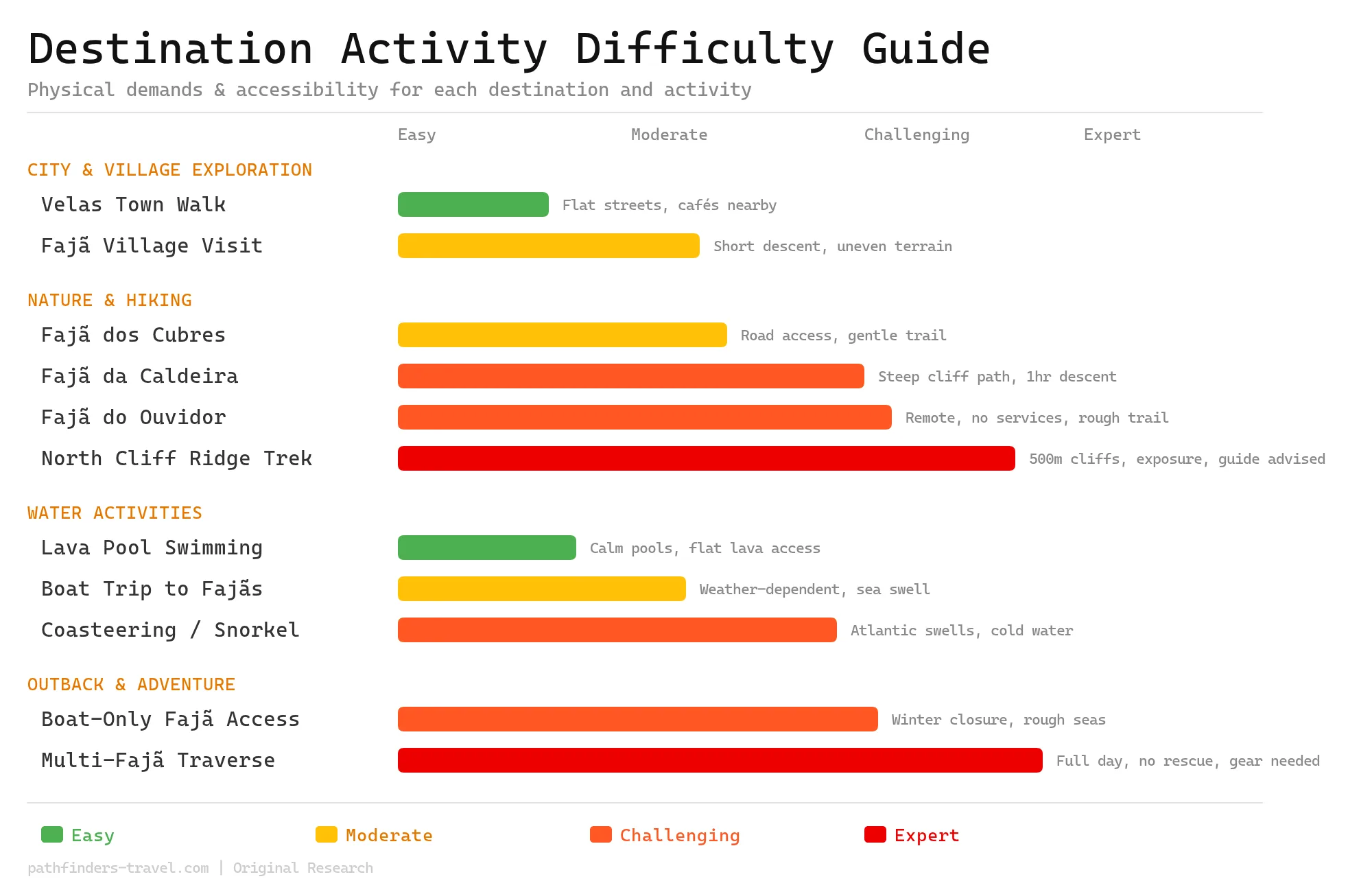
São Jorge’s fajãs span an extraordinary range of difficulty, from easy lava pool dips in sheltered coves to expert-level multi-fajã cliff traverses with no services and serious Atlantic exposure. Most highlights require at least moderate fitness to get around the steep zigzag paths descending 500-metre cliff faces, and several remain inaccessible in winter when seas close boat and trail access entirely. Matching your activity choice to your fitness level is essential on this dramatic, vertical island.
Best Time to Visit
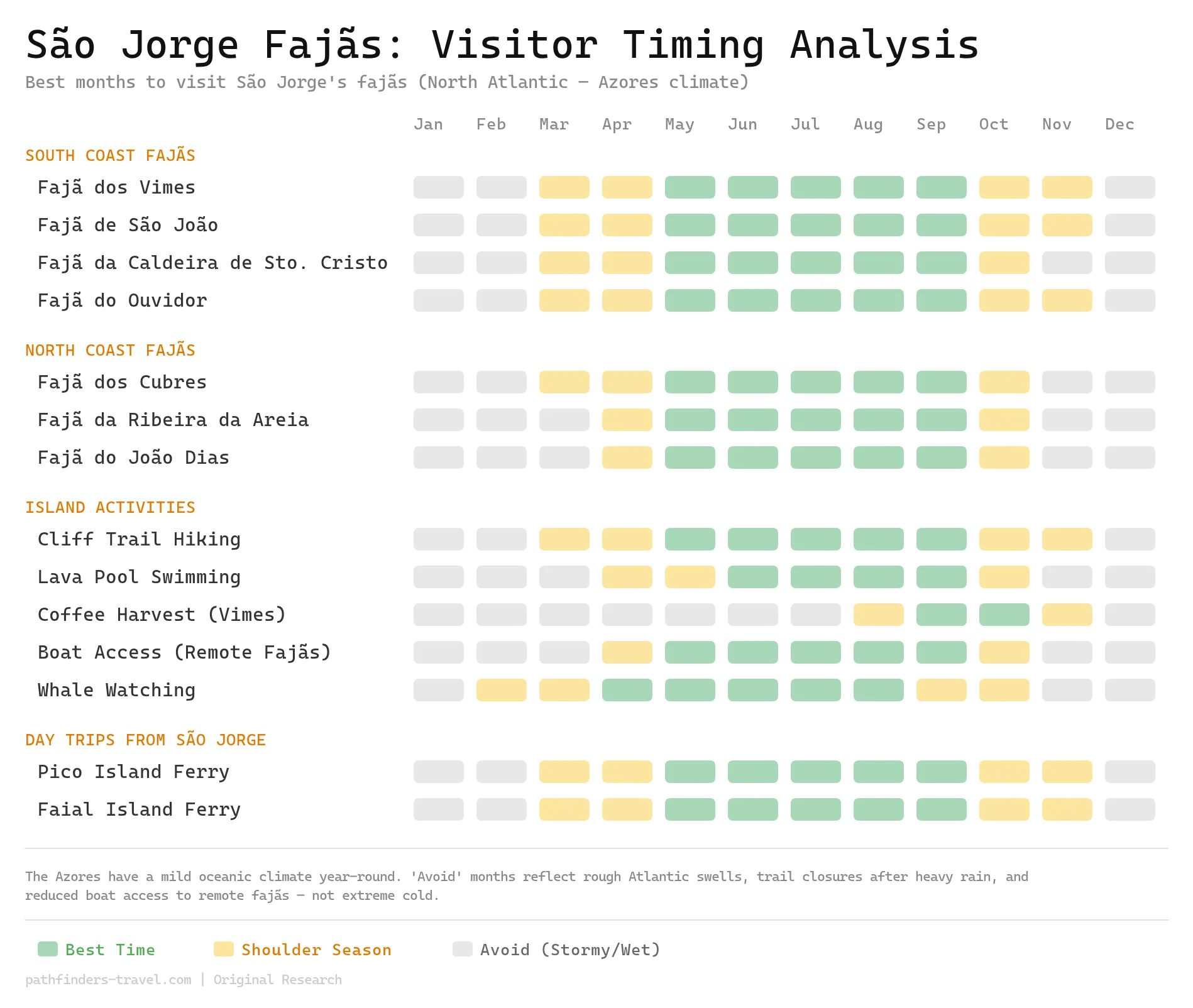
São Jorge enjoys a mild Azorean oceanic climate year-round, but the island’s dramatic cliff trails and boat-access fajãs are heavily influenced by Atlantic weather patterns. May through September offers the most stable conditions, calmer seas for boat trips, drier trails down the cliff faces, and warm enough water for lava pool swimming. Winter months (December, February) bring rough swells that can close remote fajã access entirely, while spring and autumn shoulder months offer quieter crowds and thick green scenery at the cost of some trail closures after heavy rain.
Travel Routes
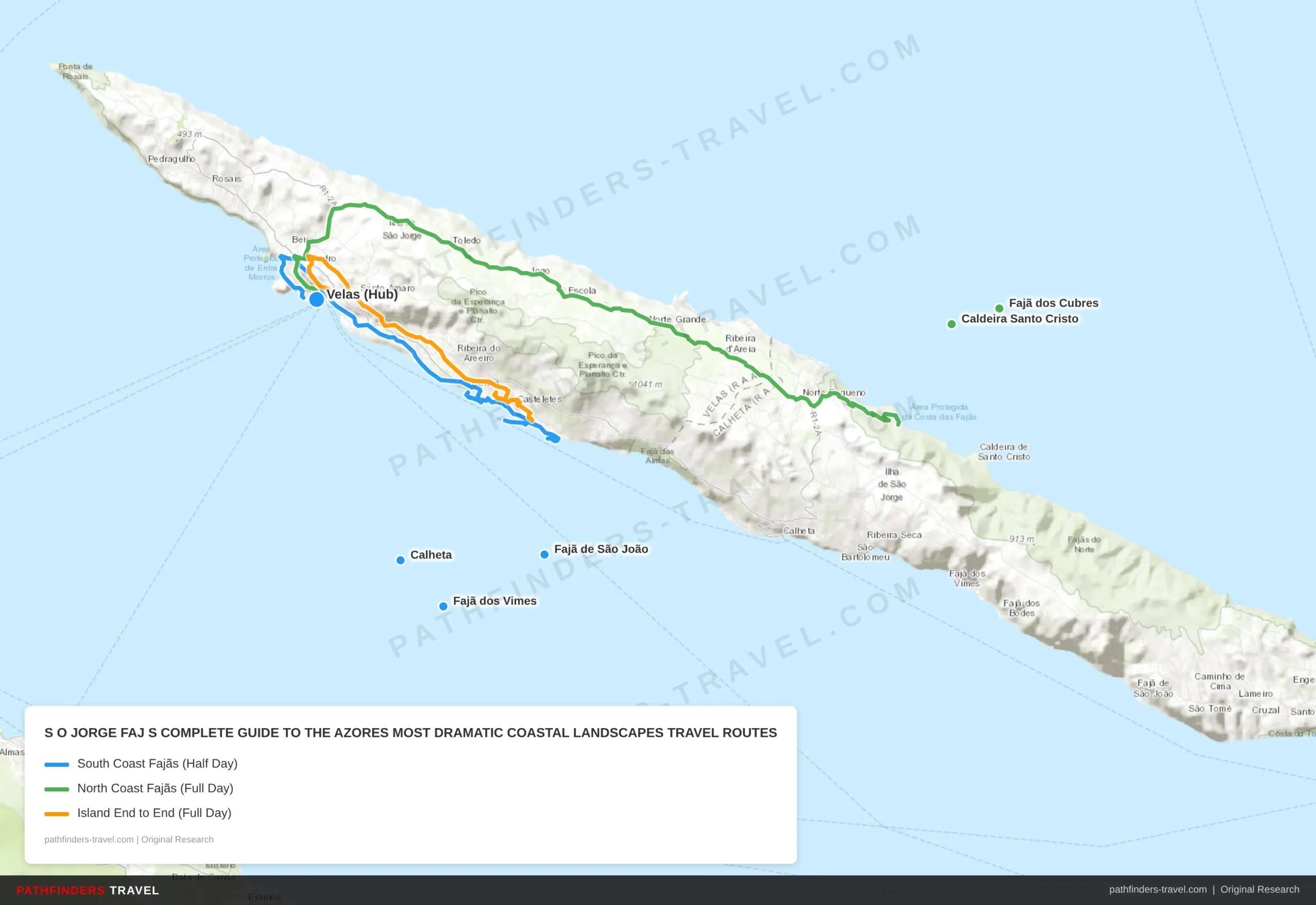
Below are recommended travel routes with key stops and estimated drive times.
| # | Stop | Highlights | Drive Time |
|---|---|---|---|
| 1 | Velas (Hub) | Main ferry port and gateway town. Rent a car or join a guided tour here. Stock up on water and snacks before descending to the fajãs. | Start |
| 2 | Calheta | Secondary town on the south coast. Good base for accessing southern fajã trailheads. Small market and café for last supplies. | 25 min from Velas |
| 3 | Fajã de São João | Quiet, isolated fajã with abandoned stone houses and black-sand beach. Steep but short descent. Bring your own food, café opens sporadically. Open Atlantic views with no crowds. | 10 min from Calheta + 20 min hike |
| 4 | Fajã dos Vimes | Europe’s only commercial coffee plantation. 30-min steep descent (300m drop). Coffee cooperative tours and tastings, on-site roasted beans. Natural lava-rock seawater pools for swimming on calm days. Small cafés serving grilled fish and octopus stew (~€12). | 15 min from São João trailhead + 30 min hike |
| # | Stop | Highlights | Drive Time |
|---|---|---|---|
| 1 | Velas (Hub) | Depart early, no shade on the north coast trails. Pack plenty of water, sunscreen, and lunch. Trail conditions can close routes after rain. | Start |
| 2 | Fajã dos Cubres | Accessible north-coast fajã with a protected lagoon and birdlife. Connected to Caldeira Santo Cristo by a coastal trail. Easier terrain makes this a good warm-up before tackling the longer hike. | 30 min from Velas + 20 min hike |
| 3 | Caldeira Santo Cristo | São Jorge’s most famous fajã, 2-hr hike each way on rocky, exposed trail. Brackish lagoon sheltered by a sandbar with rare endemic clams (protected). Calm, warm swimming in the lagoon. Small family café open summers only; camp on flat ground near beach for the sunrise if staying overnight. | 45 min coastal trail from Cubres |
| # | Stop | Highlights | Drive Time |
|---|---|---|---|
| 1 | Velas (Hub) | Western end of the island. Start at sunrise for the full crossing. This route covers 56 km of São Jorge’s dramatic length, clifftops, viewpoints, and fajã descents along the way. | Start |
| 2 | Calheta | Midpoint town with fuel and a viewpoint over the south coast fajãs. Good spot for a mid-morning break before the long drive east. | 25 min from Velas |
| 3 | Fajã dos Vimes | Coffee cooperative stop, try a cup of Europe’s rarest commercial coffee before continuing east. Natural pools for a quick dip if time allows. | 15 min from Calheta + 30 min hike |
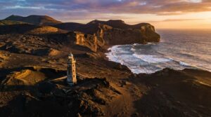
| 4 | Topo | Eastern tip of São Jorge with wide views of Pico and Faial islands across the channel. Historic lighthouse and small fishing community. The visual contrast between São Jorge’s vertical cliffs and the broad volcanic cones of Pico is memorable. | 40 min from Vimes trailhead |
Top Fajãs to Explore on São Jorge
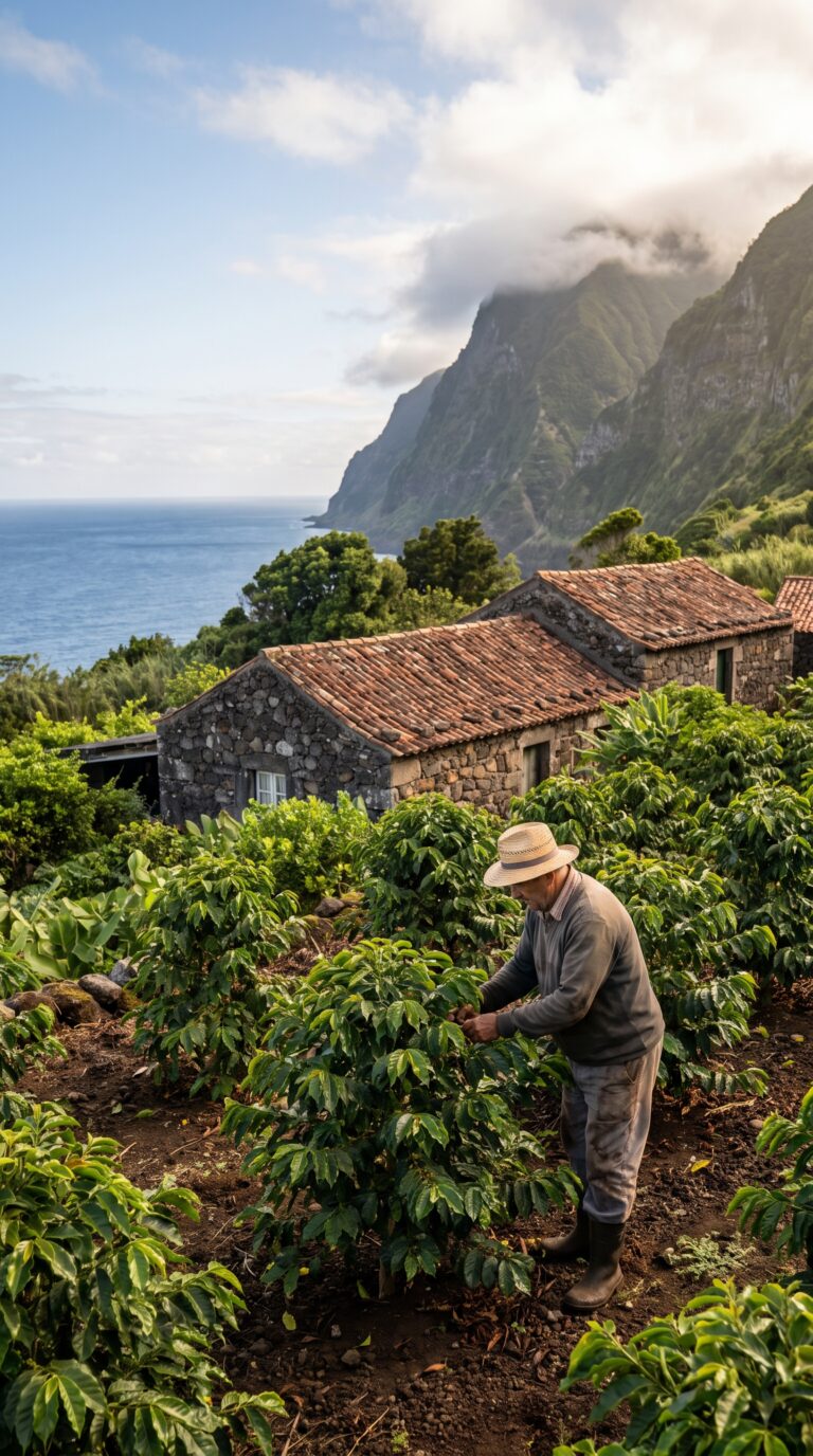
Fajã dos Vimes sits at the end of a well-maintained but relentless descent. The trail drops 300 meters in about 30 minutes. Your knees will feel it. But the payoff is real: this is the only place in Europe where coffee grows commercially. The Fajã dos Vimes coffee cooperative runs tours and tastings. You can buy beans roasted on-site. The coffee tastes earthy, not acidic. It’s a novelty, but a genuine one.
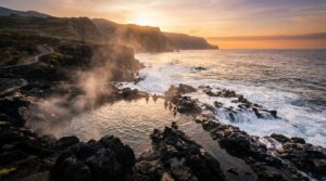
The fajã also has natural swimming pools carved into the lava rock. They fill with seawater at high tide. On calm days, they’re perfect for a dip. On rough days, waves crash over the edges and the pools turn into washing machines. Check conditions before you commit.
Small cafés serve fresh fish and octopus stew. Prices are reasonable, €12 for a full plate. The stone houses here date back generations. Some families still farm the land. It’s not a museum. People live here.
Fajã de São João is quieter. The trail down is shorter but just as steep. This fajã feels more isolated. Fewer tourists make the trip. The stone houses are older, some abandoned. Vines grow over doorways. The beach is black sand and pebbles. No swimming pools, just open ocean. The Atlantic here is cold and rough most of the year.
You’ll find one small restaurant that opens sporadically. Don’t count on it. Bring your own food and water. The silence is the main attraction. You can sit on the rocks and hear nothing but waves.
Fajã da Caldeira de Santo Cristo is the most famous. It’s also the hardest to reach. The hike from the trailhead takes about two hours each way, according to the official São Jorge hiking trails map. The path is rocky and exposed. No shade. In summer, start early or you’ll bake.
The lagoon here is the draw. It’s a brackish pool separated from the ocean by a sand bar. Rare clams live in the mud, locals harvest them under strict quotas. You can’t collect them yourself. But you can swim in the lagoon. The water is calm and warmer than the open sea.
A handful of stone houses line the shore. One family runs a small café serving grilled fish and beer. They’re only open during summer months. If you arrive off-season, the place is deserted. Some hikers camp overnight to catch the sunrise. There’s no official campsite, just flat ground near the beach.
Fajã dos Cubres connects to Caldeira de Santo Cristo by a coastal trail. It has its own lagoon, smaller and shallower. The community here is tiny, maybe a dozen houses. A dirt road reaches this fajã, so it’s technically accessible by 4×4. Most people still hike in.
The lagoon at Cubres is good for kayaking. Locals rent kayaks in summer for €10 an hour. You can paddle across to the sand bar and watch waves break on the other side.
Practical reality: every fajã requires a steep descent. What goes down must climb back up. The return hike is brutal. Your legs will shake. Bring at least two liters of water per person. Snacks help. Energy bars, fruit, something with salt.
Weather changes fast. A clear morning can turn into fog and drizzle by noon. Check forecasts before you go. If clouds roll in, trails become slippery. Some sections have loose gravel. Trekking poles aren’t a bad idea.
A few fajãs have small cafés or restaurants, but don’t rely on them. Hours are irregular. Menus are limited. Carry backup food.
Staying overnight in a fajã is an option. A few houses rent rooms through local contacts. No websites, just word of mouth. Ask at the tourism office in Velas. The isolation at night is total. No streetlights. Stars fill the sky. You’ll hear the ocean all night.
Some fajãs are only reachable by boat or extremely challenging trails. For those, hire a local guide. They know the routes and the weather patterns. Don’t improvise on the remote ones. The cliffs are unforgiving.
Getting to and Around São Jorge
São Jorge is reached by inter-island ferry from Pico (1 hour) or Faial (1.5 hours), or by small plane from Terceira; a rental car is essential as the 56km island has limited public transport.
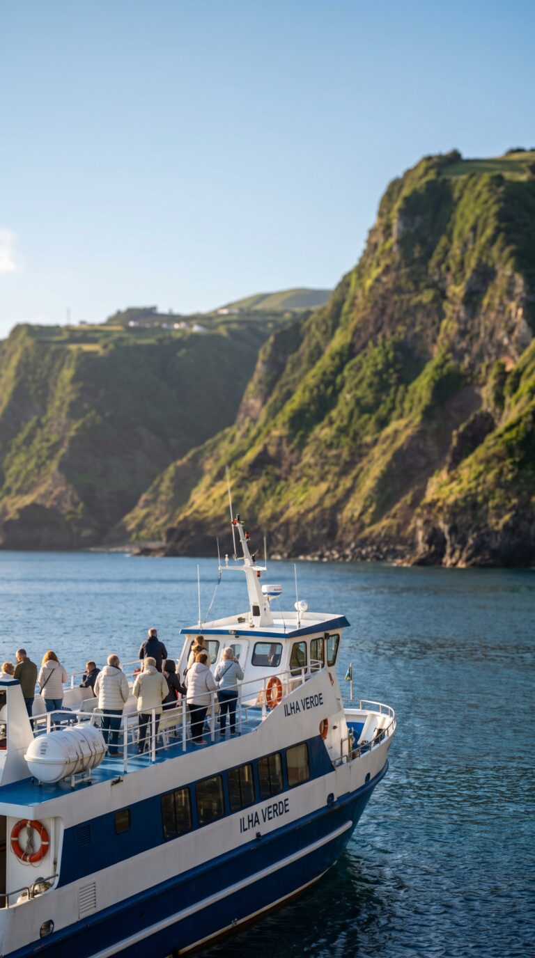
Most visitors arrive by ferry. Atlânticoline runs regular services from Madalena on Pico Island (about 1 hour crossing) and Horta on Faial Island (roughly 1.5 hours). Book tickets online a few days ahead during summer. Walk-on passengers rarely have issues, but if you’re bringing a car, reserve early.
São Jorge has a small airport, Aeroporto de São Jorge, with limited inter-island flights operated by Azores Airlines SATA from Terceira and São Miguel. Flights are infrequent and often cancel in bad weather. The ferry is more reliable.
Rent a car. This is not optional. The island stretches 56 kilometers end to end, according to official geographic data, and fajã trailheads scatter along the clifftop road with no bus service. Velas (the capital) and Calheta are the main towns with rental agencies, gas stations, and groceries. Book your car before you arrive, there are maybe five rental companies on the whole island.
Public buses exist but run only a few times daily between Velas and Calheta. They don’t stop at trailheads. Taxis are scarce.
The roads are narrow. Expect hairpin turns, no guardrails, and cliff drops that make your passenger grip the door handle. Drive slowly. The views are absurd, you’ll want to stop every ten minutes. Budget extra time.
If steep hiking isn’t your thing, boat tours from Velas harbor visit remote fajãs by sea. You get the coastal drama without the knee-destroying descent.
Day Trips from São Jorge
São Jorge’s central location enables easy day trips to six Azores islands: Pico (1 hour by ferry) for Mount Pico climbing, Faial (1.5 hours) for Capelinhos Volcano, and Terceira for UNESCO-listed Angra do Heroísmo.
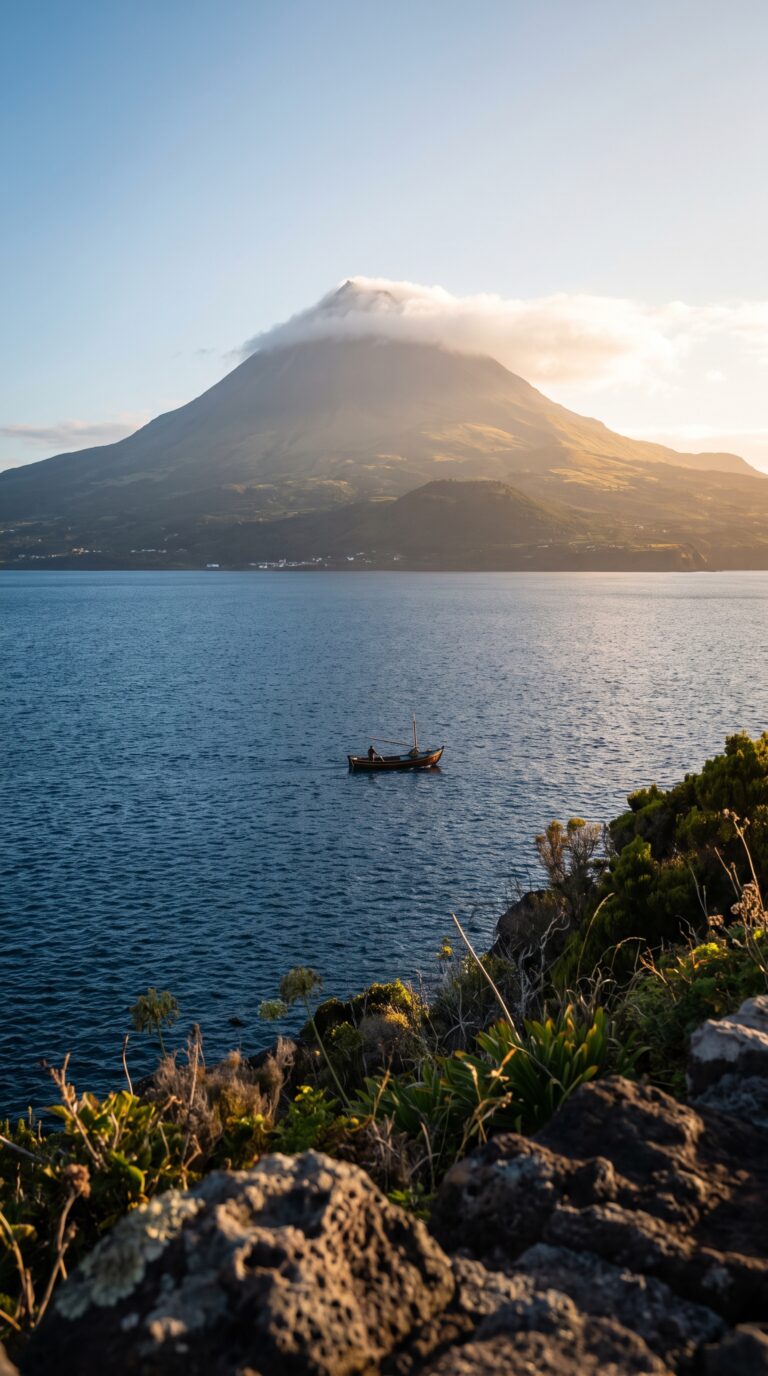
São Jorge sits in the middle of the central Azores group. Pico, Faial, and Terceira surround it. This makes the island a perfect base for island-hopping. You can reach three islands within 90 minutes by ferry.
Planning Tip
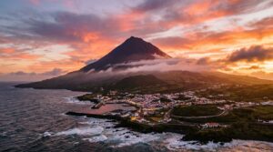
Pico Island lies one hour away by ferry. Mount Pico dominates the skyline, Portugal’s highest peak at 2,351 meters according to the Portuguese Geographic Institute. The climb takes 4–6 hours round trip. You need a permit from the Mount Pico Climbing Permits and Safety office. Start before dawn. The trail is steep and loose. Bring layers, the summit can be 15°C colder than sea level.
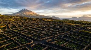
The Pico Island Vineyards sprawl across the island’s western coast. Black lava stone walls protect the vines from Atlantic winds. UNESCO listed the landscape in 2004. The wine tastes like volcanic soil, mineral and dry. Tastings cost €5–10 per person. The Museu do Vinho in Madalena explains the history.
Faial Island sits 1.5 hours from São Jorge. Horta is the main town. Sailors from around the world paint murals on the marina walls. Peter Café Sport has been serving gin and tonics since 1918. The bar’s walls are covered in yacht club pennants.
Capelinhos Volcano erupted in 1957. The eruption lasted 13 months. It added 2.4 square kilometers to Faial’s western tip. The landscape looks like the moon, ash-gray and barren. The interpretation center sits half-buried in volcanic debris. Entry costs €10. The lighthouse offers views across the desolate peninsula.
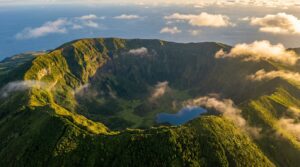
Caldeira do Faial is a massive crater in the island’s center. The rim trail is 7 kilometers. The crater floor sits 400 meters below. Blue hydrangeas line the path in summer. Fog rolls in fast, bring a jacket.
Terceira Island requires a ferry or short flight. Angra do Heroísmo is a UNESCO World Heritage town. The old center has pastel-colored buildings and cobblestone streets. The Fortaleza de São João Baptista is one of the largest fortresses in the Americas. Entry is €5.
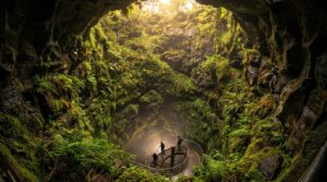
Algar do Carvão is a volcanic cave you can walk into. The tunnel descends 90 meters into an ancient magma chamber. A lake sits at the bottom. Stalactites hang from the ceiling. Tours run April through September. Cost is €10.
Serra do Cume offers wide views over Terceira’s patchwork fields. The viewpoint sits at 545 meters. The fields below form a checkerboard pattern, green pastures divided by stone walls.
São Miguel Island is farther, 90 minutes by ferry or 30 minutes by flight. Ponta Delgada is the Azores’ largest city and main hub. Most international flights land here. The city has supermarkets, car rentals, and hotels.
Sete Cidades is São Miguel’s most photographed spot. Two crater lakes, one blue, one green, sit side by side. The viewpoint at Vista do Rei offers the classic shot. The lakes are actually the same color. Different light angles create the illusion.
Furnas valley smells like sulfur. Hot springs bubble everywhere. Locals bury pots of stew (cozido das Furnas) in volcanic soil for six hours. The meal costs €15–20 per person. Caldeira Velha has thermal pools in the forest. Entry is €10. The water is 38°C year-round.
Lagoa do Fogo is a crater lake at 575 meters. The water is crystal clear. The hike down to the shore takes 20 minutes. Ponta da Ferraria is a thermal pool where hot springs mix with ocean water. Time your visit for low tide. The water is too hot at high tide.
The Nordeste region covers São Miguel’s eastern tip. Waterfalls cascade down green cliffs. The Ponta do Arnel lighthouse sits on a dramatic headland. Gorreana Tea Plantation is Europe’s oldest tea producer. Free tours and tastings run daily. Mosteiros has natural pools carved into black volcanic rock.
The smaller islands require more planning. Graciosa Island has a volcanic cave called Furna do Enxofre. A spiral staircase descends into the cavern. The island is quiet, mostly farmland and vineyards.
Flores Island is the westernmost point of Europe. Waterfalls drop straight into the ocean. The Poço da Alagoinha waterfall is 90 meters tall. Hiking trails crisscross the island. Corvo Island is the smallest, just 17 square kilometers. The Caldeirão crater is 2 kilometers wide. Birdwatchers come for rare migrant species.
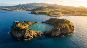
Santa Maria Island has the warmest weather and best beaches. The Praia Formosa has white sand, rare in the Azores. Ilhéu de Vila Franca do Campo is a flooded crater off São Miguel’s coast. Boats shuttle visitors from mid-June to mid-October, and the crossing costs about €15.
Ferry schedules change with the season. Check the Azores Ferry Schedule and Routes before booking. Rough weather cancels sailings. Winter crossings are less reliable. Book accommodations in advance for July and August. Multi-island ferry passes save money if you plan to visit three or more islands.
Frequently Asked Questions
What are the fajãs of São Jorge?
Fajãs are flat coastal lowlands formed by ancient landslides and volcanic lava flows that created agricultural land at sea level. São Jorge has over 40 of these formations trapped between 500-meter cliffs and the Atlantic Ocean. Many are accessible only by steep trails or boat. This isolation created small communities with unique traditions. Some fajãs still have year-round residents who farm the land their families have worked for centuries. They’re one of the Azores’ most recognizable geological and cultural features. No other island in the archipelago has anything quite like them.
How do you get down to the fajãs?
Most accessible fajãs have steep but maintained hiking trails descending from the clifftop road. These trails typically take 20 to 45 minutes down. Coming back up takes longer. You need good fitness. Some remote fajãs are only accessible by boat tours from Velas harbor. Check weather conditions before you go. Bring water. Trails can be slippery when wet. The descent involves switchbacks and stone steps. Your knees will feel it. Trekking poles help.
Which is the best fajã to visit on São Jorge?
Fajã dos Vimes is best for first-time visitors. It’s the most accessible. It has a famous coffee plantation and natural pools. Fajã da Caldeira de Santo Cristo is the most beautiful but requires a 2-hour hike. It has a rare clam lagoon. Only attempt this one if you’re an experienced hiker. Fajã de São João offers a good middle ground. Less crowded. Traditional character. Moderate trail. Visit multiple fajãs if time allows. Each has unique character.
Can you stay overnight in a fajã?
Some fajãs have small guesthouses or vacation rentals. Fajã dos Vimes and Fajã da Caldeira de Santo Cristo have the most options. Staying overnight is a unique experience. Incredible stargazing. Peaceful isolation. Authentic local life. You’ll hear the waves all night. Accommodations are very limited. Book well in advance. Some visitors camp with permission. Others stay in traditional stone houses. Expect basic facilities. No restaurants. Bring your own food.
When is the best time to visit São Jorge?
May to September offers the best weather. Warmest temperatures. Least rain. Calmest seas. July and August are peak season. More crowds. Higher prices. Spring (April to May) brings wildflowers and fewer tourists. Winter (November to February) brings rough seas that can cancel ferries. Fajã trails become dangerous. Strong winds make hiking risky. If you visit in winter, have backup plans.